Project information
- Category: Web design
- Project date: 01 December, 2025
- Project URL: www.basemmohamed.co.uk/project1
About Gazetteer
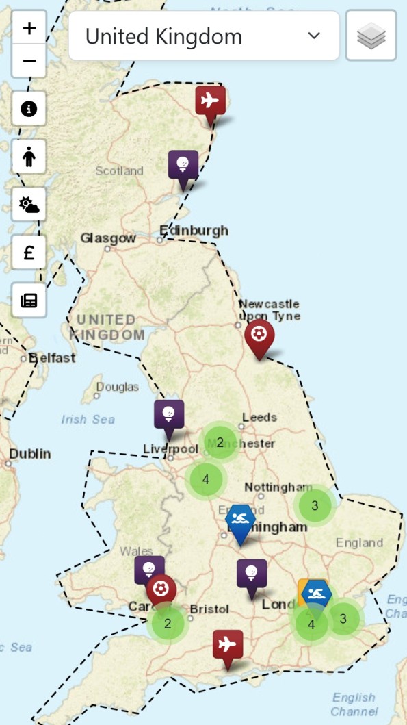
This is an interactive map website where users can select a country and use various on-screen buttons to learn about the selected locations:
- Country demographics and key statistics
- Weather forecast (based on the capital city)
- Currency conversion from or to USD
- Locations and details of recent earthquakes within the country's boundaries
- Landmarks and facilities including train stations, airports, golf courses, tennis courts, swimming pools, stadiums, and hospitals
- Most recent news headlines with links to full articles
Features
- Interactive map with country selection dropdown
- Geolocation detection to auto-select user's country
- Modal-based UI for clean data presentation
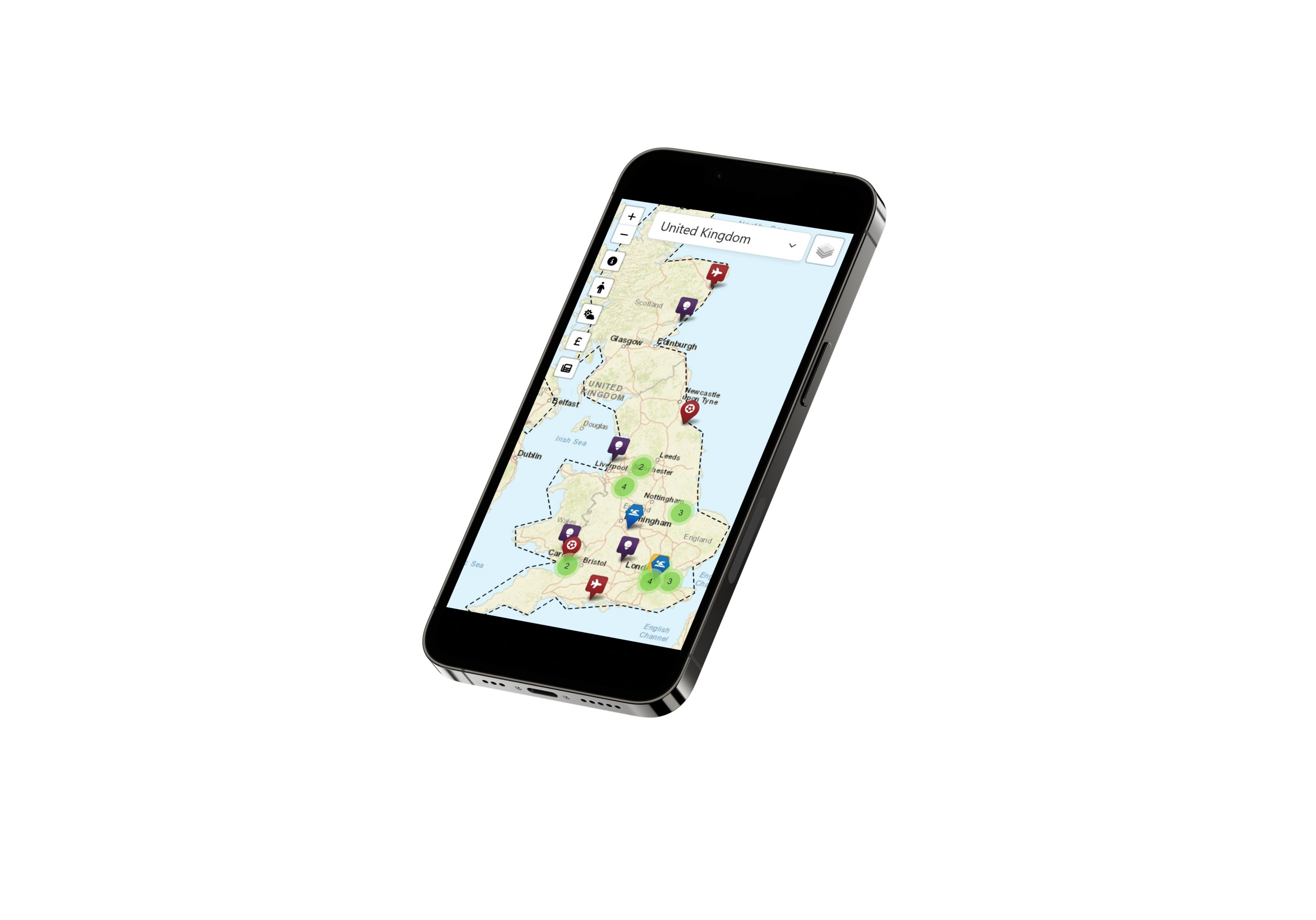
- Responsive design for mobile and desktop
- Easy-access buttons with tooltips
- Satellite and street map views
- Layer control for toggling landmarks
Tech Stack
- Frontend: HTML, CSS, JavaScript
- Backend: PHP
- Libraries:
- Leaflet.js - Interactive maps
- Bootstrap 5 - UI components and modals
- jQuery - AJAX requests
- Leaflet MarkerCluster - Marker grouping
- Font Awesome - Icons
- Toastify - Notifications